Hope i am in! as I had already a blog .... anyway hope this works.
Sorry I missed yesterday's meeting let me know ...
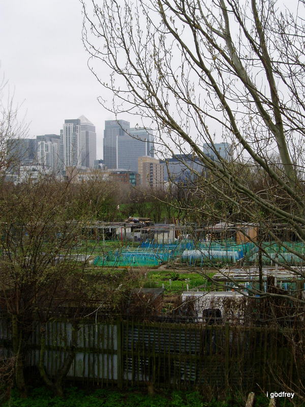
Friday, 21 October 2011
Tuesday, 17 May 2011
Well Done and Thanks
Well, we did it. Great pics and great fun and thanks to all of you for being so good to work with. How are the essays?
When the dust settles don't forget we need to make a date to visit the old boys at the Island Trust and give them their copy.
When the dust settles don't forget we need to make a date to visit the old boys at the Island Trust and give them their copy.


Sunday, 15 May 2011


The whole area was once simply known as Stepney Marsh; the name Isle of Dogges first occurs in the Thamesis Descriptio of 1588, applied to a small island in the south-western part of the peninsula. The name is next applied to the Isle of Dogs Fam (originally known as Pomfret Manor) shown on a map of 1683. At the same time, the area was variously known as Isle of Dogs or the Blackwell levels. By 1855, it was incorporated within the parish of Poplar under the aegis of the Poplar Board of Works. This was incorporated into the Metropolitan Borough of Poplar on its formation in 1900 (thank you Wikipedia!)

First time at the Omphalos
I was looking at the videos we took the first time and I think this is it.
Wednesday, 11 May 2011
Google mentions

I've been checking up on on-line mentions of the Omphalos and noticed several hits for our blog on Google. Type in Mudchute or Mudchute + Omphalos and check them out!
Also found this photo on Flickr of the Omphalos. So we are not the only ones who are interested.
Tuesday, 10 May 2011


Monday, 9 May 2011
Tutorial 9th May
We had a useful tutorial with Bridget.
We asked for a wall space to hang the big map and a table for the book. We may decide to pin up or display extra copies of the main inserts to avoid too many people handling the book. Or we could offer white gloves for the handling just to emphasis its potential fragility.
Tracy is going to invite people from the Island Trust to our show next Monday. We are still on course to offer a copy of our book to them for their archives.
We also need to think how we are going to document the whole project. Anything else we need top add to this blog?
We won't need much time for installation but we still need to paint the big map.
On Monday I will bring:
watercolours and brushes
Hammer
picture nails
double sided tape
white cloth for the table
Anybody else got things to add to this list?
More thoughts later.
Tying up the loose ends
Another useful session in Commercial Rd library. Neda monoprinted some great bookends in printing last Friday so we reinforced them with card and worked out how to stick them to the outer leaves of our book. We have six books, so on each, one to exhibit next Monday and one spare. We are each going to customise the back cover, including all our names and the blog address.
We all still have work to do on our inserts but they are looking good. We'll meet up on Friday just to sort out any last minute issues.
Tracy is going to pick up leaflets from the Island History Trust for the sixth pocket in the book
Sorry girls. I meant to take pics but forgot again! I'll post one of the completed book when I've done it. Also I'm still trying to work out how to upload pictures form artist book websites.
Wednesday, 4 May 2011
Monday, 2 May 2011


Collective books
I found this interesting ,i know that we are planning to make a book and are thinking of production in terms of quality etc... but,i saw this today about a collective making books using recycled cardboard ,individually painted book covers and found it refreshing.It is linked to a blog called CENTRE FOR THE AESTHETIC REVOLUTION .It's worth a look. http://www .eloisacartonera.com.ar/ENGversion.html
Isle of Dogs
Earliest map to have used the name is robert Adam's 1588. Which shows the south-Western part of the peninsula.


Wednesday, 20 April 2011
Visiting The Island History Trust

The Island History Trust has a collection of over 5,000 photographs - we spend some time there and talked to people who take care of this collection.
Tuesday, 19 April 2011
Our Artist's Book

Today we found a suitable map to use for our accordion book. The book will have pockets where each of us can place our artefacts. We are going to have a making session on May 3rd in the library.
The Omphalos at last

Today we found the Omphalos. First we went to the Island History Centre. The old boys who volunteer there had never heard of the Omphalos but had heard something vague about the ley line which is supposed to run through it to Greenwich. Apparently the ley lines were mentioned when Canary Wharf was being built. The actual stone circle and the steps are obviously quite recent but who knows what lies beneath! Tracy, Neda and Elise obligingly raised their arms to pay homage to the angels.
Monday, 11 April 2011
Met a Dr. Barracleugh who has pointed me in the right direction for borehole results from Mudchute itself. Here is a link to an article indicating Dr B's involvement with Mudchute:
http://www.guardian.co.uk/society/1999/aug/25/guardiansocietysupplement7
I located the omphalos. I went to a screening of Derek Jarman's 'Jubilee' last week. A neat link from John Dee to Late 20th century devastation in London. In the film John Dee conjured up Aerial who showed him and Elizabeth the first what London would be like in the future.
Sunday, 27 March 2011
The Mudchute was originally created during the 19th century. The spoil from the construction of the Millwall Dock was dumped onto near by land. Later, when the dock was completed a clinker embankment was built round the dumping site and the silt, which had accumulated in the dock, was pumped in. The spoil and silt together formed an area local referred to as ‘The Mudchute’.
With time a wild habitat developed and this became a magnet for local youngsters to explore, even though the public were not officially allowed access to the land.
The Mudchute Park and Farm is 32 acres in total
With time a wild habitat developed and this became a magnet for local youngsters to explore, even though the public were not officially allowed access to the land.
The Mudchute Park and Farm is 32 acres in total


 Borehole made at 50 Westferry Road in 2007.
Shows made ground covering 1.50 metres clay and silt.
Below this is 2.40 metres of brown peat.
This indicates that in a drier warmer period 6,000 to 3,000 years before present the area was forested. after this time the weather became cooler and wetter and the area was probably under water and being covered by silt. (Late Holocene rise in sea level)
More recently (2009) boreholes have been made in Mudchute Park and showed high levels of arsenic and lead were present.
Saturday, 26 March 2011


Friday, 25 March 2011
Locating the Omphalos

I have scanned in the map showing the circle off the East Ferry Road. The blue diagonal line is the ley line going from Greenwich Park and up towards Queen Mary University site!


Thursday, 24 March 2011


Tuesday, 22 March 2011


Subscribe to:
Comments (Atom)